
The Future of GIS with AI: Foundation Models, Agents and What Changes for GIS Teams
Where AI is taking GIS: geospatial foundation models, AI agents that run GIS workflows, maps you can talk to, what AI still gets wrong, and how organisations and GIS teams can prepare now.
By Haider Ali, Chief Technology Officer
Key takeaways
- Foundation models turn imagery into ready-to-use data with far fewer labels.
- AI agents will run GIS workflows, but only through tools and data you control.
- Data quality, validation and spatial thinking matter more, not less.
For most of its history, GIS has asked people to learn the tools before they could ask a question. You needed to know which layer to load, which projection to use, which geoprocessing tool to run and in what order. AI is starting to reverse that. Models can now read satellite imagery with very little training, and AI agents can plan and run a chain of GIS operations from a plain-language request.
This does not make GIS less important. It moves GIS from a specialist desktop activity into the systems and conversations where decisions are made. Here is where the field is heading, what still goes wrong, and what organisations and GIS teams can do now.
Where we are in 2026
Three developments are coming together:
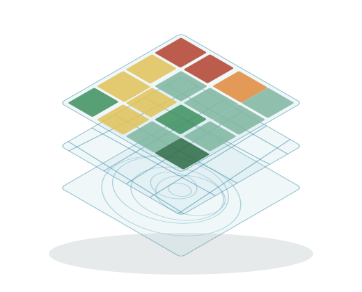
- geospatial foundation models: large models pre-trained on huge archives of satellite imagery, which can be adapted to new tasks with few labelled examples
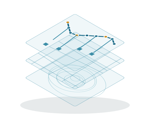
- AI assistants and agents in GIS platforms: assistants that help inside the software, and agents that call GIS tools to complete multi-step tasks
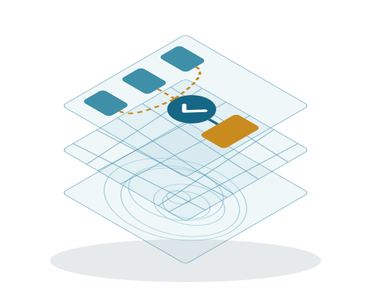
- a common way to connect AI to tools: open standards such as the Model Context Protocol (MCP), which let an AI model use databases, desktop GIS and web services through defined tools
Each one is useful on its own. Together, they change how spatial work gets done.
1. Foundation models turn imagery into ready-to-use data
Traditional GeoAI projects train a model for one task, such as detecting buildings, using thousands of labelled examples from the area of interest. Foundation models change the starting point.
NASA and IBM’s open-source Prithvi models are a good example. Prithvi-EO-2.0 was trained on 4.2 million global time-series samples from NASA’s Harmonized Landsat and Sentinel-2 archive, and its 600-million-parameter version improved on the earlier model by about 8% across a standard set of benchmark tasks. The models are published on Hugging Face and have been fine-tuned for tasks such as flood mapping, burn scar detection and crop classification.
Google DeepMind’s AlphaEarth Foundations goes a step further. It combines optical imagery, radar, LiDAR, climate data and other sources into a compact summary, called an embedding, for every 10 m square of land and coastal water. Google released these yearly embeddings as the Satellite Embedding dataset in Earth Engine, and reported an average error rate 24% lower than the other models it tested, including in cases where labelled data was scarce.
What this means in practice:
- fewer labels: a few hundred good examples can be enough to classify land cover or detect change, rather than tens of thousands
- similarity search: pick a location, such as a type of farmland or informal settlement, and find every place that looks like it
- change detection on demand: compare embeddings for the same place across years instead of building a new pipeline each time
The skill shifts from training models to choosing the right model, preparing good evaluation data and checking results on the ground.
2. From assistants to agents
The first wave of AI in GIS was assistants: help writing an Arcade expression, drafting a survey form or explaining a tool. The next wave is agents, which plan a task, call the tools they need and return a result.
Google’s Geospatial Reasoning research shows the pattern. Given a complex question, Gemini plans a chain of steps, retrieves imagery and data, calls specialised models for tasks such as object detection or damage assessment, and summarises the result. A disaster manager can ask which communities and assets are most exposed after a storm, and the agent combines weather, population and imagery to answer.
Esri describes a similar direction for ArcGIS. Its AI capabilities rest on three pillars: assistants that improve the user experience, AI tools and models that extend analysis, and agentic AI that lets external agents connect to ArcGIS tools and lets users build their own geospatial agents. Esri is also clear that many assistants are still in beta or preview, and that AI in ArcGIS remains a tool that supports people rather than replacing them.
The open source world is moving the same way. Community MCP servers already connect AI models to QGIS, where an agent can load layers, run processing algorithms and render maps, and to PostGIS, where an agent can query spatial data. The better ones recommend connecting through a read-only database role by default, which is exactly the kind of control every agent deployment needs.
3. The map becomes a conversation
For people outside the GIS team, the biggest change will be the interface. Instead of learning a map application, a manager will ask:
- which of our branches are within 2 km of a flood zone?
- where did vegetation cover drop most in the last three years?
- which districts have the most customers and the fewest service visits?
The answer comes back as a map, a table and a short explanation. We covered the building blocks in natural language queries on PostGIS: translate the question into a safe, validated spatial query, run it against trusted data and show how the answer was reached.
This is where GIS reaches far more people. A well-built spatial data platform with a conversational layer lets operations, sales and planning teams use location data daily, without opening GIS software.
What AI still gets wrong
The progress is real, but so are the limits. Independent benchmarks keep finding the same weaknesses:
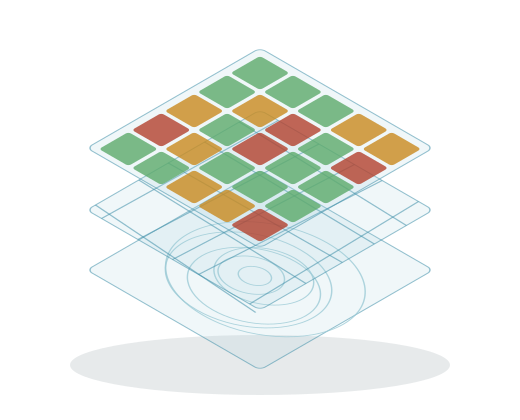
- geometric reasoning: the GeoBenchX benchmark, which tests language models on multi-step GIS tasks, found errors such as confusing a polygon with its centroid and mishandling lines and polygons
- spatial SQL: the MapQA study found that models struggle with multi-hop spatial questions and often produce incorrect spatial queries, faulty joins and inaccurate distance calculations
- knowing when to stop: models do not always recognise when the data or tools cannot answer a question, and may produce a confident answer anyway
The pattern is consistent: a language model on its own is not a reliable spatial engine. It performs well when it plans and explains, while proven tools such as PostGIS, GDAL and ArcGIS do the actual geometry. Good agent design keeps it that way.
What does not change
Some fundamentals become more important as AI spreads:
- data quality: an agent that answers instantly from outdated or inconsistent data spreads errors faster than any analyst could
- coordinate systems and units: distances, areas and overlays still depend on the right projection
- validation: model results need testing on areas the model has not seen, using approaches such as spatial cross-validation
- accountability: a person still signs off on decisions about land, infrastructure and public services, and needs to see how an answer was produced
Organisations with clean, well-documented, well-governed spatial data will get the most from AI. Those without it will mostly get faster mistakes.
What it means for GIS teams
The work of a GIS team will shift rather than disappear. Less time will go into manual digitising, repetitive geoprocessing and one-off map requests. More time will go into:
- building the data foundation: modern, cloud-native formats, catalogues and clear metadata that agents can find and use
- designing tools for agents: well-defined, permission-controlled operations such as "buffer this layer" or "count features within an area", rather than open database access
- evaluation: test sets and checks that measure whether an agent’s answers are correct, and alerts when they are not
- domain judgement: knowing which question to ask, which data to trust and when a result does not make sense on the ground
The most valuable GIS professionals will combine spatial expertise with software engineering, because the future of GIS is increasingly built into applications rather than used in a desktop tool.
How to prepare now
- Pick one narrow, repeated task. For example, a weekly report on new construction, or answering common location questions from the sales team. Measure how long it takes today.
- Get the data ready. Clean the key layers, document them and move them into a spatial database or cloud-native formats that tools can query reliably.
- Try a foundation model on your own area. Test it on a small labelled sample before trusting it at scale.
- Expose safe tools, not raw access. If you connect an AI agent, give it read-only, well-described operations and log every call.
- Keep a person in the loop. Review results, record corrections and feed them back so the system improves.
Summary
AI is changing GIS in three ways: foundation models that read imagery with few labels, agents that run GIS workflows, and conversational interfaces that bring maps to people who never open GIS software. The limits are just as clear: language models still make basic geometric mistakes, so the geometry belongs in proven spatial tools, and the results need checking. Organisations that invest in good spatial data, safe tool design and careful evaluation now will be ready to use AI with confidence as these systems mature.
References and further reading
- AlphaEarth Foundations (Google DeepMind) (opens in a new tab)
- Satellite Embedding dataset (Google Earth Engine) (opens in a new tab)
- Prithvi-EO-2.0: a multi-temporal foundation model for Earth observation (arXiv) (opens in a new tab)
- IBM-NASA Prithvi models (Hugging Face) (opens in a new tab)
- Geospatial Reasoning (Google Research) (opens in a new tab)
- The Next Era of AI and ArcGIS (Esri ArcNews) (opens in a new tab)
- Model Context Protocol (opens in a new tab)
- GeoBenchX: benchmarking LLMs on multi-step geospatial tasks (arXiv) (opens in a new tab)
- MapQA: open-domain geospatial question answering (arXiv) (opens in a new tab)
Working on something similar? Jugrafiya builds GIS products, spatial data pipelines and the web and mobile software around them.
Talk to an engineer